Virgin Islands - 3D Nautical Wood Chart
Everything Nautical Proudly presents the Virgin Islands - 3D Nautical Wood Chart. The Virgin Islands are best known for their crystal sand beaches and clear blue waters. This 3D wood map of St. Thomas and St. John intricately details the shorelines and depths of the sound separating the islands. The territory’s capital of Charlotte Amalie is cut in detail on the island of St. Thomas.
This nautical wood map details the towns, mostly situated on the shorelines, and provides a roadmap between the points of interest. This wood chart is a stunning addition to any home and brings the vibe of the islands to your house every day. Your 3D wood map arrives with a custom frame and ready to hang.
Points of Interest on the St. Thomas, St. John, US Virgin Islands, 3D Wood Map Include: Crown Mountain, Water Island, Hans Lollik Island, Mt. Bordaeux, Coral Bay, Sage Mountain National Park, and Virgin Islands National Park.
Virgin Islands Wood Map Details:
Dimensions: 13.5" H x 43" W
Crafted with High-Grade Birch
Custom Wood Frame
Details of Depths are Laser-Cut
Names and Locations Engraved
Protected with Acrylic Glass
Arrives Ready to Hang
Ships within 2-3 days of order
Frame Styles:
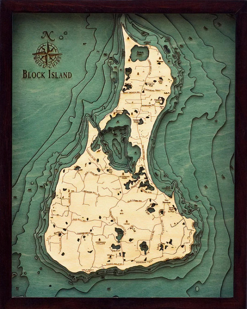
Classic, Dark Brown Frame, Greenish-Blue Water Color
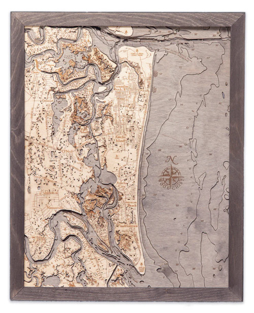
Rustic Grey Frame, Greyish-Blue Water Color
White Frame, Greyish Blue Water
Buy the Virgin Islands - 3D Nautical Wood Chart. from Everything Nautical today. We are your most trusted source for all of your nautical décor needs. Serving thousands of customers since 1998, we are a family run, U.S. based company. You can always count on accurate and easy to understand personal service, like no one else.


